Section II · Stratigraphy · Entry 02
Cave loam and the limestone floor
The fill inside a cave is not soil. It is an archive — built up grain by grain from washed-in sediment, collapsed roof and the litter of whoever sheltered there — and reading it correctly is the whole game.
Cave fill is not soil; it is a slow accumulation of washed-in sediment, roof fall and occupation debris sitting on bedrock.
01What the fill is made of
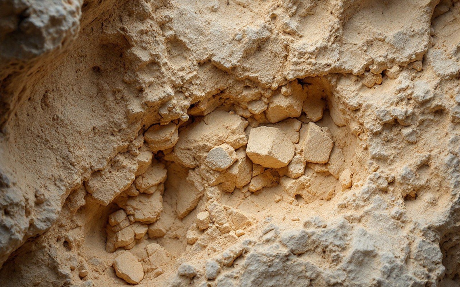
Limestone bedrock is not a passive container. It dissolves, it fractures, and as it does it contributes to the very fill stacking up on its surface. At the base of any sequence you find the floor itself: bare rock, or a thin smear of the earliest occupation ground into it. Above that, layer by layer, comes cave loam — a fine-grained, often yellowish or reddish sediment dominated by silt and clay washed in by water moving through the cave entrance or percolating down through the rock. Mixed into that matrix are angular limestone fragments broken from the roof and walls by frost cycles, charcoal and burnt bone from fires, flint knapping debris, and the teeth, jaws and postcranial scraps of whatever animals were eaten there or died there naturally.
None of these inputs arrive at the same rate or at the same time. A wet phase flushes in fine sediment. A cold phase brings roof-fall — the freeze-thaw action that pries slabs loose and drops them into the fill, sometimes as a distinctive cryoclastic layer (frost-shattered debris) that a stratigrapher can read as a climatic marker. A phase of heavy occupation loads the sediment with ash, grease and knapping waste. The result is not a uniform column; it is a stack of events, each leaving a slightly different texture, colour, carbonate content or fauna, and the principle that depth is time holds only if the sequence has not been churned.
02What distorts the record
Water is the great disruptor. A strong inwash event can rework older sediment, lift small objects and redeposit them higher in the section. Animal burrowing — bears, foxes, badgers — cuts shafts through existing layers and mixes what was separated. Earlier excavators, working before stratigraphic recording was routine, dug with picks and shovels and tipped their spoil back into the cave or over the edge of the terrace, sometimes refilling portions of their own trench. Philippe-Charles Schmerling, working the Meuse caves in the 1820s and 1830s, understood that bones found together at the same depth were probably contemporary; but he had no formal layer notation, and his field records cannot always resolve which finds came from which sediment package.
Édouard Dupont moved faster still through the Lesse valley ↗ caves in the 1860s, recovering spectacular faunal and lithic assemblages but rarely documenting the section with the care the material deserved. What was lost was context: not the object, but its precise relationship to the floor beneath it and the layer above. Context is what makes an object a datum rather than a curiosity.
Key sediment types
03What survives and how it is read
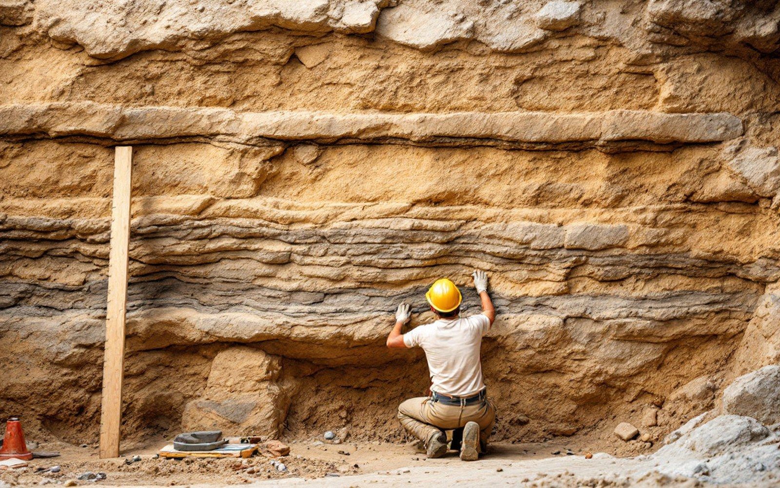
A surviving section — a clean vertical face through undisturbed fill, exposed by careful excavation — shows the sequence as sediment. Colour changes mark boundaries. Pebble lenses show flood events. A band of angular frost-shattered limestone, pale and coarse, sits against a dark greasy layer of charcoal-flecked occupation material, and below them both the pale compact loam of an earlier episode where no fire was lit. Each boundary is mapped in plan and in section, and samples are taken for radiocarbon dating, sediment micromorphology and environmental analysis.
The limestone floor itself anchors everything. Because bedrock is the terminus — nothing is below it — any sequence bottomed onto bare rock has a known lower limit. The problem is always the upper end: the cave mouth deposits are typically the most disturbed, the most weathered and the most likely to have been dug out by earlier excavators. What is lost there is often the most recent prehistoric occupation, and it is gone without record. When radiocarbon dates from sites like Goyet are revised upward by direct dating of individual bones, the revision is often possible only because the bone survived, not because the stratigraphic context did.
A strong inwash event can rework older sediment, lift small objects and redeposit them higher in the section.
The fill, read carefully, is a proxy for everything that happened in and around the cave. Misread, it just looks like dirt.
Chronology of the problem
- 1820s–1830sSchmerling: depth noted, formal layer notation absent
- 1860sDupont: rapid clearance of Lesse valley caves; sections rarely recorded
- 1886De Puydt and Lohest at Spy: finds recorded layer by layer, a methodological step change
- Late 20th–21st centuryradiocarbon direct-dating of individual bones begins to bypass lost stratigraphy
Read next