Section I · The Caves · Entry 06
Ramioul
Found in 1911 by a local society, in quarried limestone country on the edge of an industrial valley.
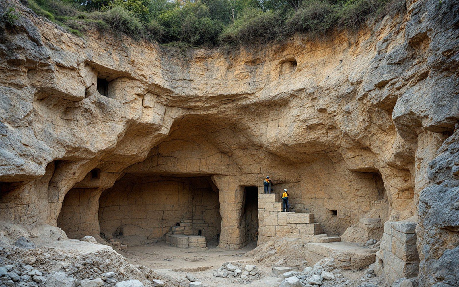
01A society find in quarried country
Ramioul is a cave in Flémalle ↗, Liège, on the left bank of the Meuse at a point where limestone outcrops interrupt the industrial valley floor that quarrying has steadily consumed. The site was identified in 1911 by members of the Chercheurs de la Wallonie, a regional natural-history society that worked the caves of the Meuse basin throughout the early twentieth century — the kind of organised local effort that found several sites before professional institutions could mobilise.
The limestone here is Carboniferous, the same formation that underlies much of the Meuse valley, and quarry operations in the district had already destroyed or compromised other potential sites before Ramioul was recorded. The cave entrance itself survives in what had become a heavily modified landscape, which makes the integrity of its deposits unusual for the area.

Excavations in the years following discovery produced a stratified fill carrying Palaeolithic material across multiple levels. The assemblage includes Mousterian tools — the characteristic scrapers and notches associated with Neanderthal occupation — as well as fauna: reindeer, horse and cave bear appear in the deposits, placing the human presence in a cold-stage environment broadly consistent with the Middle Palaeolithic of the region. Levallois flaking is represented in the lithic material; prepared-core technology leaves diagnostic scars on the débitage that allow the identification even when finished tools are absent.
Stratigraphy at Ramioul was recorded more carefully than at some of the nineteenth-century sites dug under comparable circumstances — a product, in part, of the Chercheurs de la Wallonie working at a moment when layer-by-layer recording was becoming expected practice rather than the exception. The principle that depth corresponds to age was applied here with sufficient rigour that the stratigraphic sequence has remained broadly usable, even as dates attached to individual layers have been revised by later analysis.
Chronology
- 1911cave identified by members of the Chercheurs de la Wallonie
- Post-1911excavations produce stratified Mousterian and faunal material
- Later twentieth centuryradiocarbon dating applied to deposits
- Recent decadesuranium-series dating on speleothem refines the sequence
- OIS 4–3broad bracket for Mousterian occupation (subject to revision)
Radiocarbon dating and, more recently, uranium-series work on associated speleothem have refined the chronology beyond what the lithics alone could establish. The Mousterian levels fall within the range expected for Middle Palaeolithic occupation in the middle Meuse basin, broadly between OIS 4 and OIS 3 — though the precise boundaries remain subject to ongoing study.
The cave's significance within regional prehistory rests less on any single dramatic find than on the fact that it survived quarrying at all, and that when it was found, the people who found it wrote down what they saw.
Read next